Directions and Maps
Holden Beach Vacations -
Where in the world is Holden Beach?
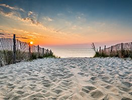
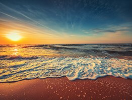
Holden Beach, along with all of the South Brunswick Islands, is a great vacation get-a-way. The beach is unique in the fact that it runs east and west so you wake-up to beautiful sunrises and end your day with a wonderful sunset.
The interactive Google Map below will allow you to explore the Holden Beach area and generate driving directions (click the green arrow to start). At the bottom of this page you will find a map showing public, private, and handicapped access points for our beaches.
We hope to see you soon! If you need further instructions, directions, or have a question to ask call 1-800-842-6949 or e-mail us!
Map Of Holden Beach, NC
From the Triangle take Interstate-40 east to Wilmington. I-40 becomes College Rd. and intersects with Martin Luther King Parkway. Turn right onto MLK Pkwy, and follow signs for 74/Whiteville to Highway 17.
After crossing over the bridge follow signs for Myrtle Beach, then follow signs to Brunswick County Beaches. You'll be there in no time at all!
Off 95 past Florence take the Francis Marion Exit (327). At intersection with 76-576 (Flea Market on right) turn left. This will put you on East 76/ SC-576. When 76 and 576 split, stay on 576 to 501 Bypass. Take 501 to 22, and 22 to 31 East (North Carolina Bays Parkway.) Take 31 to #9 exit Loris. Merge then take next right at light. This is Hickman's Crossroad Road to NC and Hwy 17. Take Hwy 17 North to Shallotte. Go past Shallotte and turn right on Mt. Pisgah Rd., which will merge into Hwy 130 E. Turn right at light at Holden Beach causeway. Go over bridge. When you get to stop sign HBV is located directly across the street.
Approximate Distance and Driving Time from Major Cities in the Southeast
Asheville, NC - 356 miles, 6.5 hours
Atlanta, GA - 411 miles, 7.5 hours
Charleston, SC - 155 miles, 3 hours
Charlotte, NC - 209 miles, 3 hours
Columbia, SC - 200 miles, 4 hours
Fayetteville, NC - 116 miles, 2 hours
Raleigh, NC - 152 miles, 3 hours
Richmond, VA - 300 miles, 5.25 hours
Wilmington, NC - 24 miles, 40 minutes
Winston-Salem, NC - 264 miles, 4 hours


